
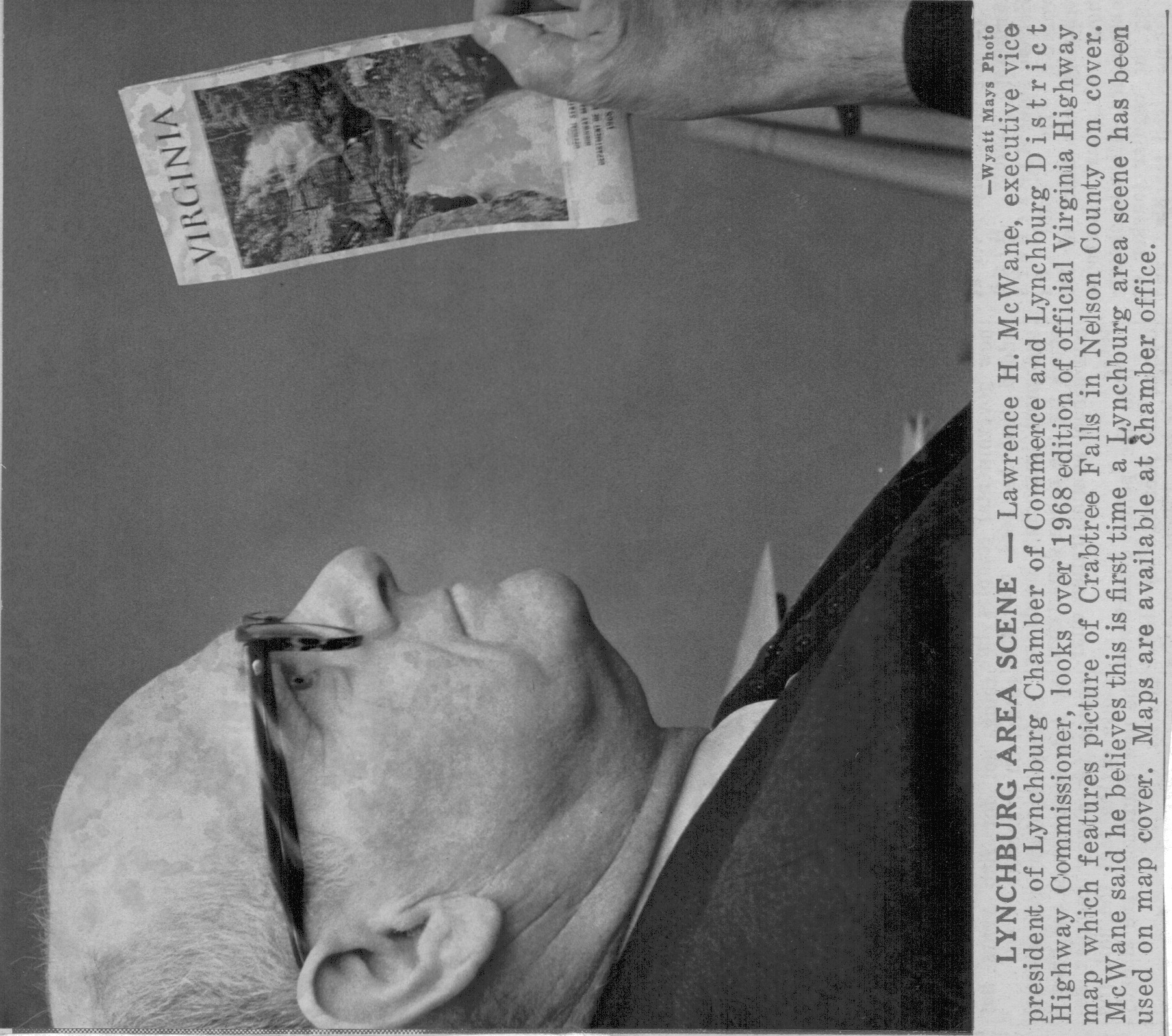
Virginia Highway Map depicts Crabtree Falls; February 18, 1968
- Where to find this in the Library
- You may access the physical version of this item by going to the Reading Room Reference Desk. Please provide the library staff with either the title and location of this item or the item's catalog call number.
- Identifier
- NA0102-112
- Barcode
- NA0102-112
- Source Identifier
- 80743
- Title
- Virginia Highway Map depicts Crabtree Falls; February 18, 1968
- Published Volume
- Chamber of Commerce
- Description
- Lawrence H. McWane looks over new official Virginia Highway Map
- Date
- 18 February 1968
- Creator
- Wyatt Mays (photographer)
- Type
- StillImage
- Genre
- photographs
- Digital Format
- image/jpeg
- Physical Description
- 1 print
- Repository
- George M. Jones Library Association
- Rights
- https://creativecommons.org/licenses/by-nc-nd/4.0/
- Rights Holder
- George M. Jones Library Association
Part of Virginia Highway Map depicts Crabtree Falls; February 18, 1968